
Travel within the parish is very disjointed with major barriers to easy movement. The use of cycles riding horses and walking is faced with motorways and railway embankments and steep bridges to cross them. The A403 is a very busy and difficult road to use on foot or cycle. One solution is to encourage people to use designated cycle and footpaths with green spaces that are pleasant to use and traffic free. In Milton Keynes the design of new areas incorporates a mantra that no house should be more than a few minutes of a green space with “redways” that form a network for cycling, horse riding and walking within the town.
This plan attempts to link established open spaces of value with corridors of easily navigable parkland. If fields are still to be farmed then then would need to be established pathways within those fields that have credibility and authority for walkers and cyclists.
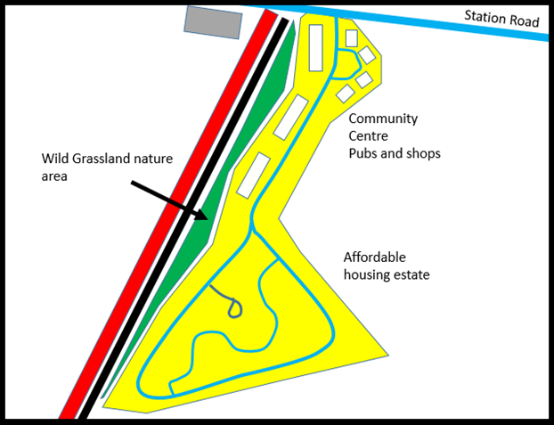
Some of the pockets of land are important in creating the linear parks and new road / rail and footpath connections.
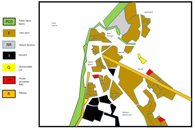
Many footpaths have been closed or diverted by industrial factors. These include the building of the Severn Tunnel, new Motorways and what is now the Western Approaches Estates.

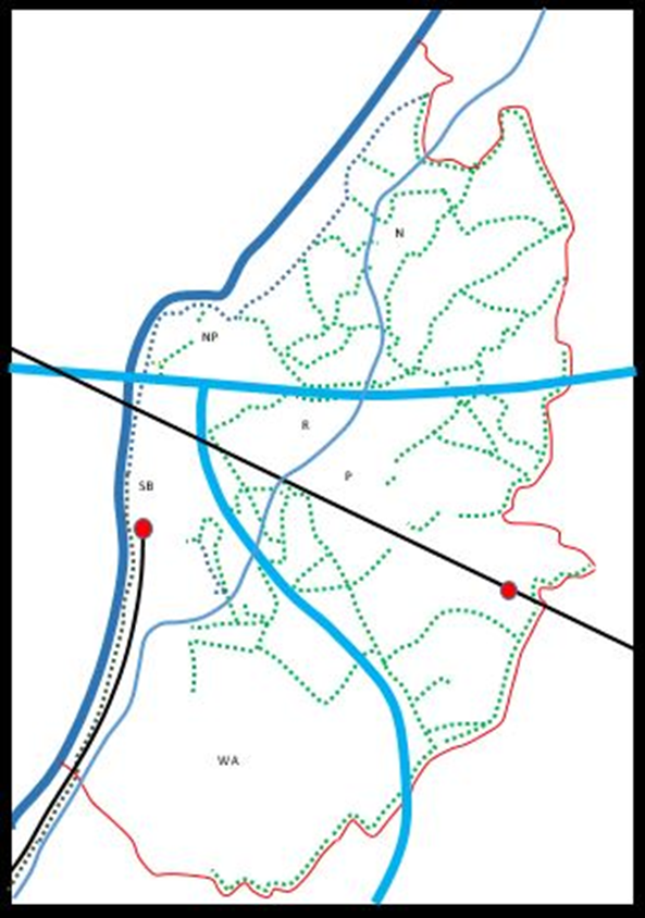
The highlighted yellow areas are potential fields or field edges that might help in creating a park network.
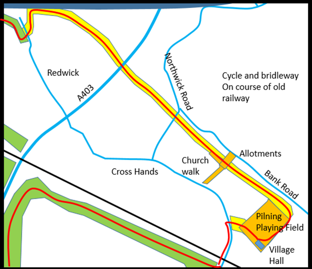
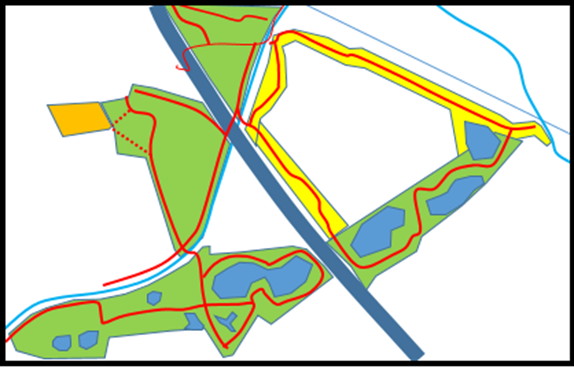
On the following maps the new red highlighted paths. They should be paved dual purpose footpaths / cycle paths with soft bridle ways alongside where possible. If fields can be created as parks then the straight paths shown may meander rather than being straight lines. It will involve some access to better pathways within the built up estates in Severn Beach. For example across the playing field and to the east of the shops. Some parts will be planned woodland or water balancing lakes. Others will need major sculpting to create slopes and embankments. The lakes will be managed as part of flood prevention schemes for the industrial areas.

The lake here already exists to take water from the motorway. It is inaccessible at present to the general walking community. The Chesil Pill walkway exists but as a muddy and uneven path along the pill side. It could easily be upgraded.

In this case a footpath that is sparingly used runs at the northern edge of the field vaguely on the course of the old railway. The old railway route is already wooded. I would suggest it would be possible to access the top of the railway embankment and so doing open up wider vistas of both the valley and the important tourist site in the Severn Tunnel entrance.
This route way has lost some land to housing that has claimed extra depth to gardens and use as allotments. For the most part though it remains as an unused and apparently un-cared for strip of land across fields, often overgrown and informally wooded.

The Southern section has for some time been somewhat of a problem site. Now designated as Industrial land it should be re-designated as agricultural use or preferably out into the hands of the community to use. In this diagram the northern fields have been developed as sports fields perhaps compensating both villages for any loss of amenity space at the present village playing field sites. The woodlands planted should enhance those already present and so buffer noise from the motorway.

The Gypsy Platt footpath already exists but should be upgraded and possibly lit. The Eco park designation reflects its present use, partly for a solar farm. I would argue that the community should benefit from any power produced and the question of wind turbines and alternative energy solutions might be addressed on this site.

The co-operation of the Western Approaches developers are needed here to create a series of linked lakes which have a dual function of holding excess water but also creating a clear separation of industrial and residential land use. The Western section already exists as the Orchard Pools (Though under intense pressure).
This marginal footpath and bridleway system mostly follows existing footpaths and is intentionally has a linking function. The spaces to the north are intentionally left undeveloped as possible routes for a rail link. The possibility for designated cycle routes are also possibilities.

This section is possibly the most urgent section as it is already under threat of industrial development. Should it arrive then the land between the warehouses and the road should be improved as high quality woodland and parkland. The field level has already been raised and unexpected wetland habitats have been formed adjacent to the main drainage channels.

The old railway line runs through a new housing estate but can be identified but not linked as yet. The redevelopment site is privately owned, has been cleared and now has regenerated itself as informal scrubland wildlife sanctuary. It engenders a tricky balance of opinions that run between environment asset and community eyesore.
This might be the sort of redevelopment that answers some of the community needs. It is prime land for the focus of any Community land Trust.

The linear parks as outlined might come together as this overall plan.
